UN
7 Terling
£ 255,000
Description
We don't have a Description for this property.
- Bedrooms
- 2
- Bathrooms
- 0

Leaflet © OpenStreetMap contributors
The heatmap indicates the level of crime in the area. The color of the heatmap indicates the crime severity and recency.
Metrics Year-on-Year
- Average area value
- 396,667.00 £Increased by 2.81 %
- Average area rental value
- 1,323.00 £/moDecreased by 7.80 %
- Est rental Yield
- 4.00 %Decreased by 10.31 %
- Crime Rate
- 4.00 %Unchanged by 0.00 %
from 385,815.00 £
from 1,435.00 £/mo
from 4.46 %
from 4.00 %
Nearby Schools
| Name | Type | Ofsted | Distance |
|---|---|---|---|
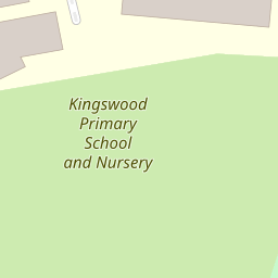
| Kingswood Primary School And Nursery | Foundation School | Good | 0.10 KM |
| Woodlands School | Academy Sponsor Led | Good | 0.74 KM |
| Ghyllgrove Primary School | Community School | Good | 1.17 KM |
| Cherry Tree Primary School | Academy Converter | 1.40 KM | |
| Fairhouse Community Primary School | Academy Converter | 1.45 KM |
Images
Nearby Streets
| Name | Average Price | Average Sqft | Distance |
|---|---|---|---|
| The Dell | £ 0 | 0 | 0.00 KM |
| East Walk | £ 0 | 0 | 0.00 KM |
| Falcon Way | £ 700,000 | 0 | 0.00 KM |
| Long Gages | £ 0 | 0 | 0.00 KM |
| Priors Close | £ 220,000 | 0 | 0.00 KM |
Nearby Transport
| Name | NLC | TLC | Distance |
|---|---|---|---|
| Basildon | 7494 | BSO | 0.73 KM |
| Laindon | 7445 | LAI | 4.27 KM |
| Pitsea | 7452 | PSE | 4.83 KM |
| Stanford-Le-Hope | 7458 | SFO | 7.20 KM |
| Wickford | 6891 | WIC | 8.31 KM |
Nearby Listings
| Address | Price | Type | Score | Distance |
|---|---|---|---|---|
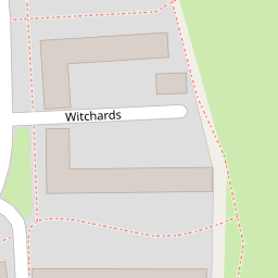
| Witchards, Kingswood, Essex, SS16 | £ 300,000 | BUY | 6 / 10 | 0.09 KM |
| Clay Hill Road, Basildon, Essex, SS16 | £ 280,000 | BUY | Unknown | 0.20 KM |
| Witchards, KINGSWOOD, Basildon, Essex, SS16 | £ 250,000 | BUY | Unknown | 0.20 KM |
| Witchards, Basildon, SS16 | £ 325,000 | BUY | 6 / 10 | 0.20 KM |
| Codenham Straight, Kingswood, SS16 | £ 325,000 | BUY | 6 / 10 | 0.20 KM |